
Tres Vírgenes
Mexico, Baja California Sur
Overview
mountain in Mexico. Elevation: 1940m
Photography
When to Shoot
Best Times
Sunrise
Sunset
Best Months
Nov
Dec
Jan
Feb
Mar
Apr
Photography Tools
Location Map
Planning Tools
Open external tools at this location
Shot Planner
Access & Drone Info
Access
Difficulty
moderate
Drone
Unknown
↑ 122 m
No night
Registration req.
Reviews
No reviews yet. Be the first to share your experience.
Seasonal guide for Mexico
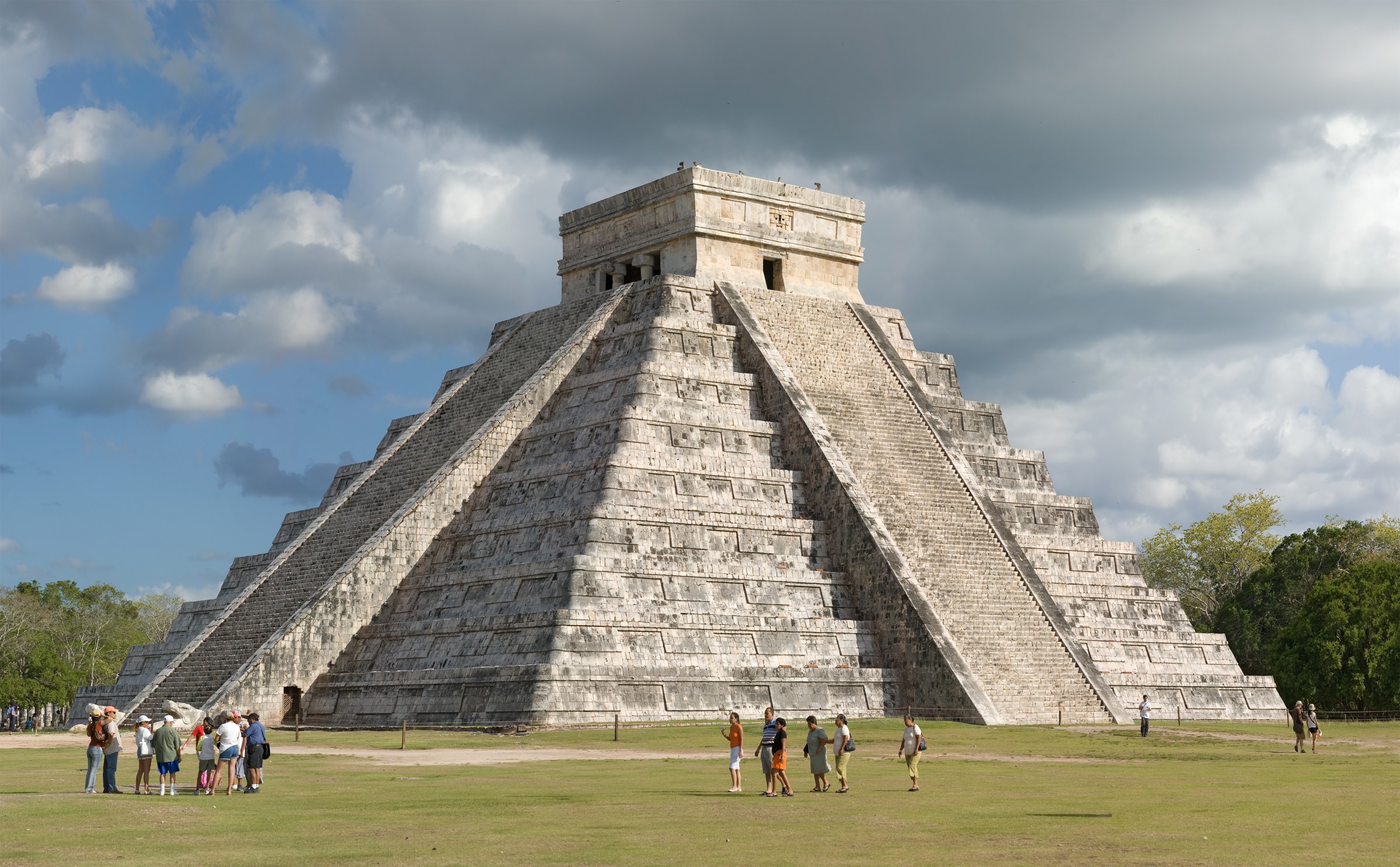
Teotihuacán pyramids, Mayan jungle ruins, Yucatán cenotes, Day of the Dead — pre-Columbian + colonial + indigenous in one country
Plan your Mexico trip
Quick Info
| Country | Mexico |
| Region | Baja California Sur |
| Difficulty | moderate |
| Best Times | Sunrise, Sunset |
| Drone | unknown |
| Parking | Unknown |