
Laguna El Salado
Ecuador, Carchi · Near Cristóbal Colón
Overview
Photography
When to Shoot Estimated
Photography Tools
Location Map
Planning Tools
Open external tools at this location
Shot Planner
Access & Drone Info
Access
easy
Informational only, not legal or travel advice. Visa, permit, drone and access rules differ by nationality and site and change often, so confirm with the official authority (linked where shown) before you travel, shoot or fly.
Drone
Informational only, not legal advice. Rules change quickly — always verify with the managing authority before flying. Airspace authorization and land-owner permission are separate: clearance to use the airspace never grants permission to take off, land, or operate from the ground below it. Data last refreshed Jun 11, 2026.
Reviews
No reviews yet. Be the first to share your experience.
Nearby Spots
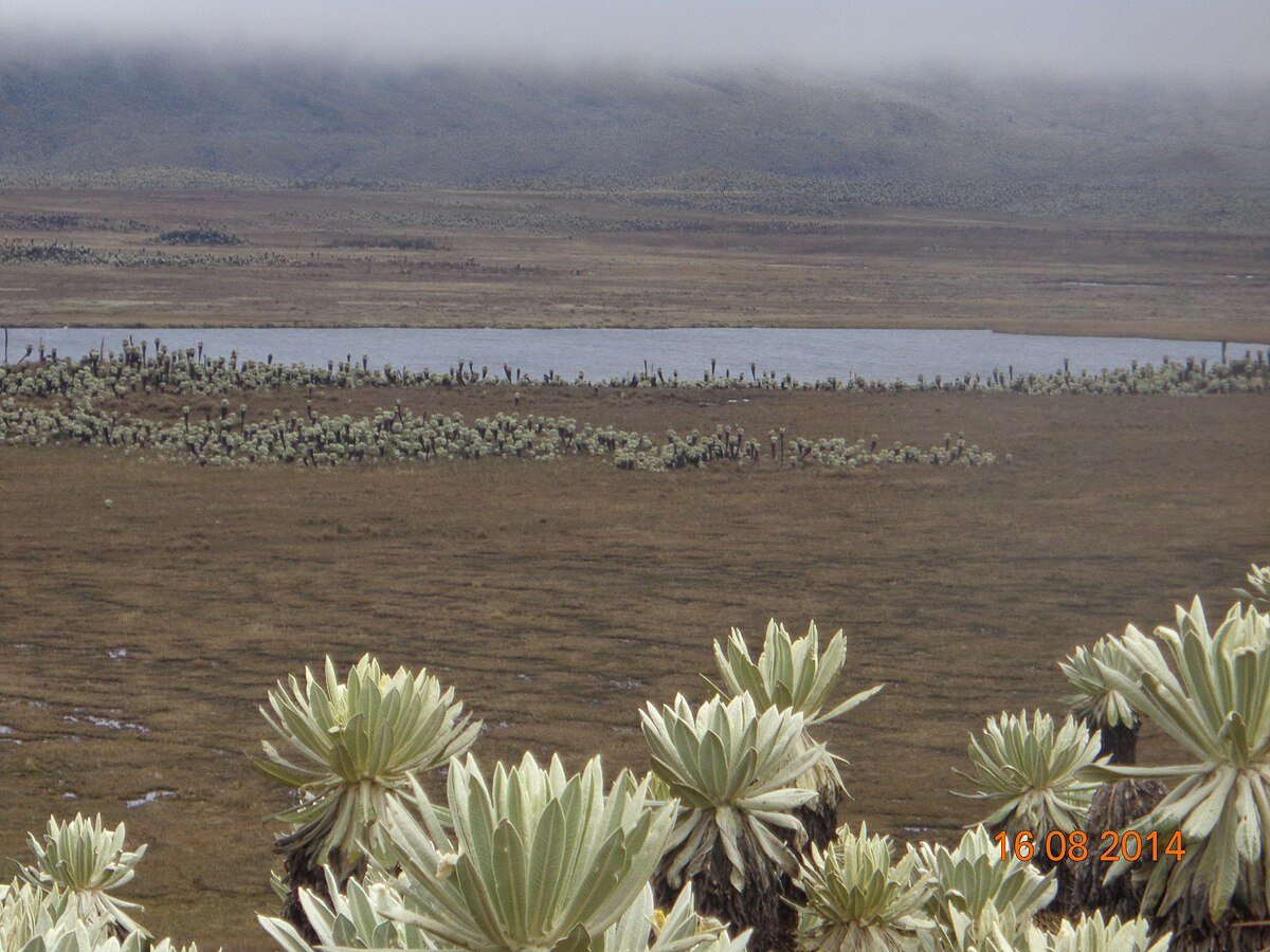
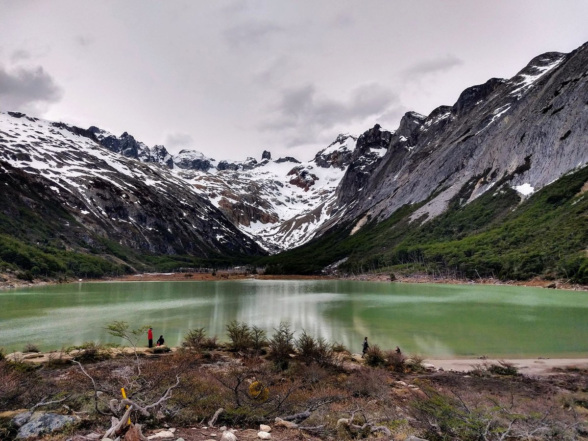
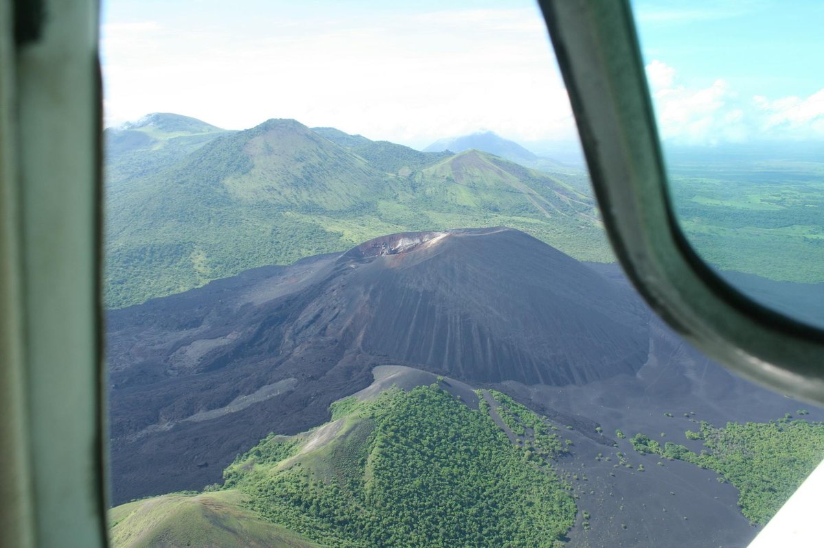
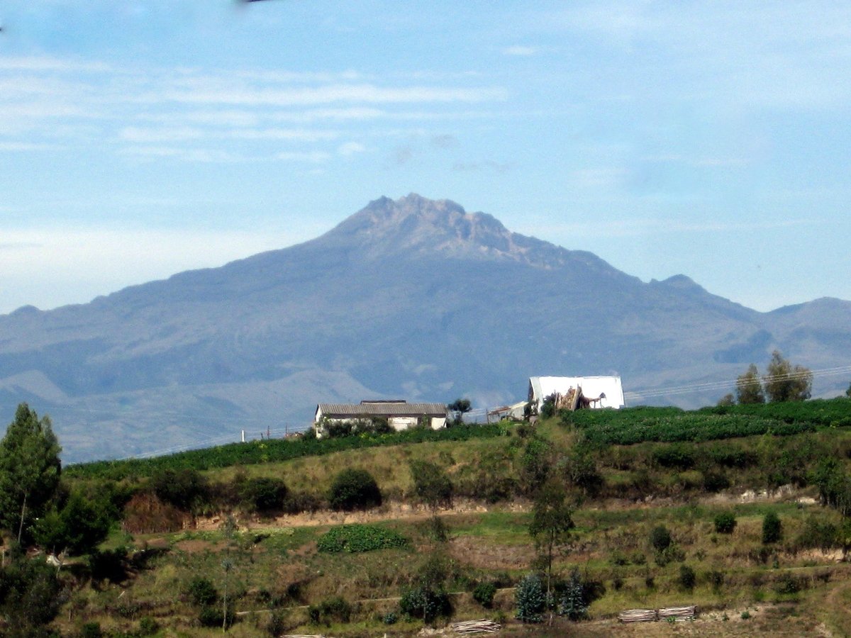
Photo credits
- Cover photo:Arabsalam / Own work / Wikimedia Commons · CC BY-SA 4.0 · Resized; may be colour-adjusted
- Nearby: Laguna de Potrerillos:Rolando Yalamá / https://web.archive.org/web/20161031033752/http://www.panoramio.com/photo/110666696 / Wikimedia Commons · CC BY-SA 3.0 · Resized; may be colour-adjusted
- Nearby: Lagunas del Crespo:Photo by Uncachitodezoom on Pexels · Pexels License
- Nearby: Lagunas Los Violines:Photo by steve.upton / Flickr · CC BY 2.0 · Resized; may be colour-adjusted
- Nearby: Laguna Yanacacha:Photo by shaunakarren / Flickr · CC BY 2.0 · Resized; may be colour-adjusted
- Nearby: Chiles-Cerro Negro:Photo by Paul Hoekman on Pexels · Pexels License
- Nearby: Chiles volcano:Bernardo Andrade Tapia / Own work / Wikimedia Commons · CC BY-SA 3.0 · Resized; may be colour-adjusted
Quick Info
| Country | Ecuador |
| Region | Carchi |
| Nearest City | Cristóbal Colón |
| Difficulty | easy Estimated |
| Best Times | Sunrise, Sunset Estimated |
| Drone | unknown |
| Parking | Unknown |