
Keddie Wye
United States, Feather River Canyon, California
Overview
Photography
When to Shoot Estimated
Photography Tips
Autumn is the standout; winter puts snow on the bridges. Morning suits trains leaving Tunnel 32, afternoon silhouettes westbounds.
Photography Tools
Location Map
Planning Tools
Open external tools at this location
Shot Planner
Access & Drone Info
Access
moderate
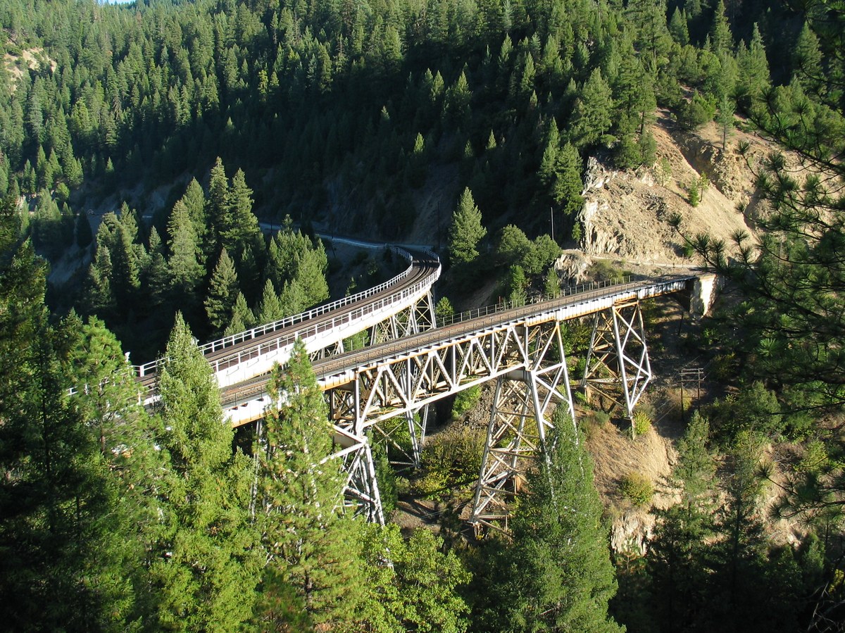
The repeatable legal shot is from the State Route 70 pullout just south of the 70/89 junction near the Greenville Y, on the west side — free roadside dirt, shooting down onto the wye. The main danger there is the highway itself: busy, no sidewalk, and you are standing beside it. The most famous Keddie angles — creek level, on the structure, inside the wye — are all Union Pacific right-of-way and are trespass, and the creek access is private property besides. Do not replicate them.
Informational only, not legal or travel advice. Visa, permit, drone and access rules differ by nationality and site and change often, so confirm with the official authority (linked where shown) before you travel, shoot or fly.
Drone
Informational only, not legal advice. Rules change quickly — always verify with the managing authority before flying. Airspace authorization and land-owner permission are separate: clearance to use the airspace never grants permission to take off, land, or operate from the ground below it. Data last refreshed Jun 11, 2026.
Reviews
No reviews yet. Be the first to share your experience.
Photo credits
- Cover photo:Adrian Studer Fthat [1] via Wikimedia Commons · CC BY-SA 3.0 · Resized; may be colour-adjusted
Quick Info
| Country | United States |
| Region | Feather River Canyon, California |
| Difficulty | moderate Estimated |
| Drone | unknown |
| Parking | Unknown |