
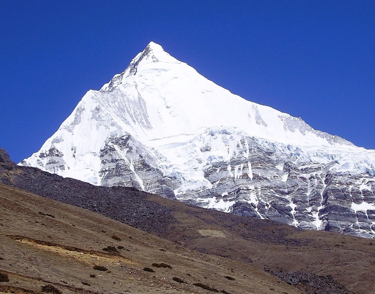
Kangphu Kang
Bhutan
Overview
mountain in the Himalayas, on the border between Tibet and Bhutan. Elevation: 7220m
Photography
When to Shoot
Best Times
Sunrise
Sunset
Golden_Hour
Best Months
Mar
Apr
May
Oct
Nov
Photography Tools
Location Map
Planning Tools
Open external tools at this location
Shot Planner
Access & Drone Info
Access
Difficulty
moderate
Drone
Unknown
⚠️ Drones are prohibited in Bhutan. Equipment will be confiscated at customs.
No night
Reviews
No reviews yet. Be the first to share your experience.
Nearby Spots
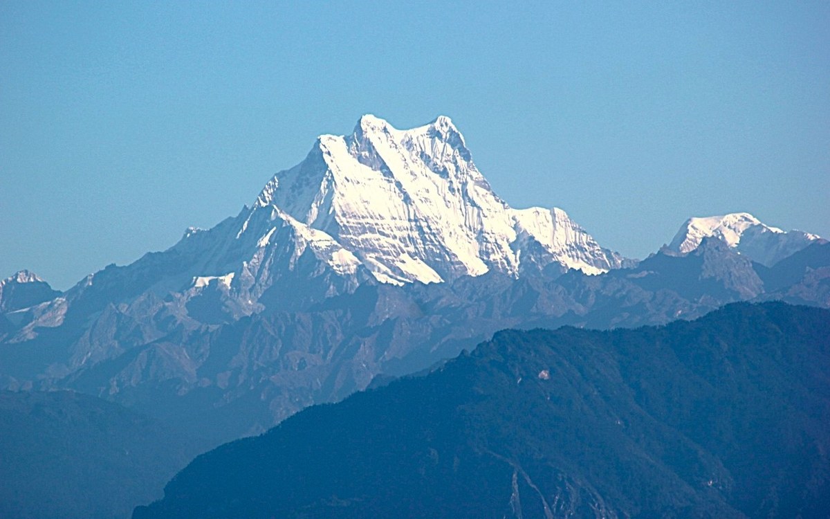
Seasonal guide for Bhutan
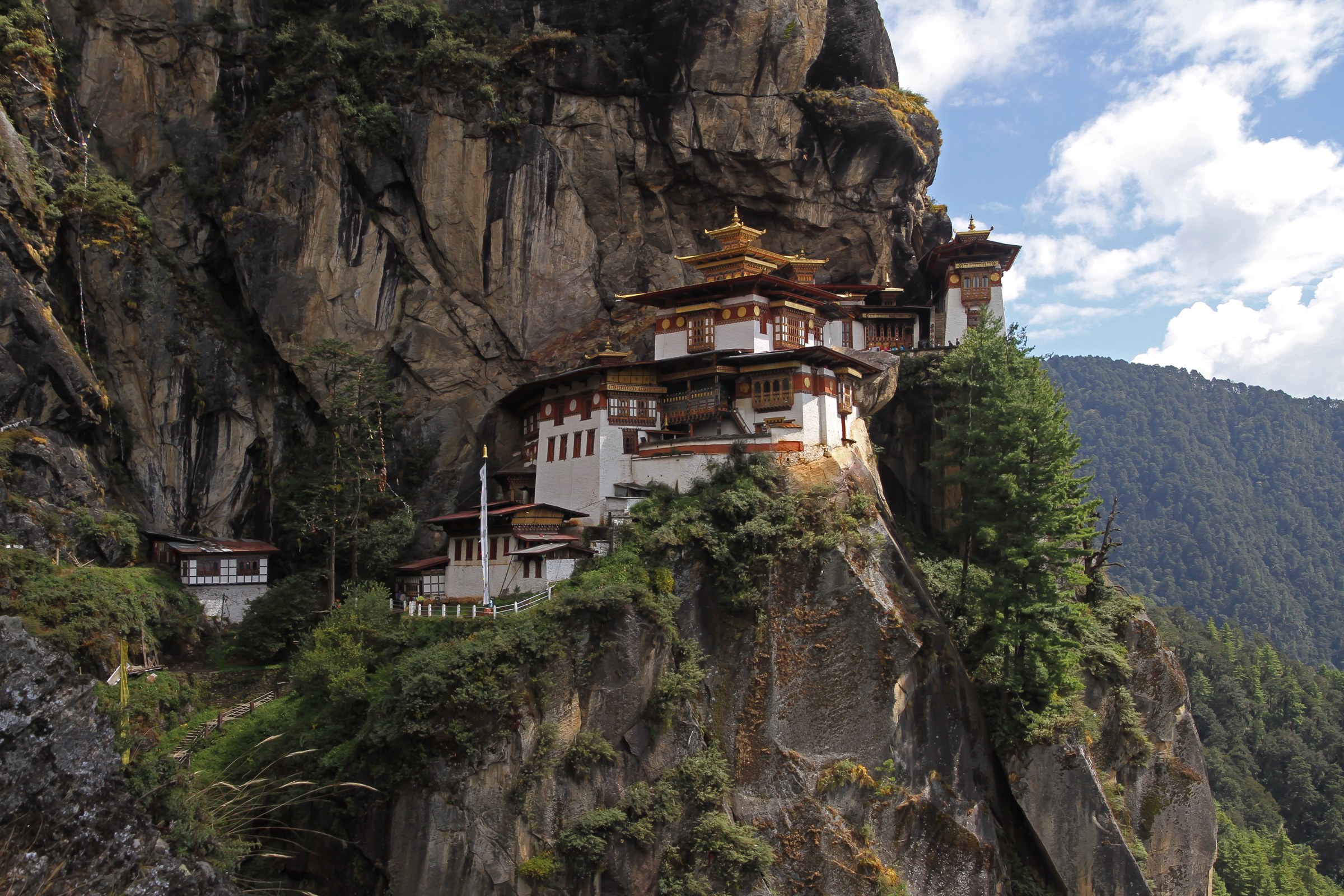
Tiger's Nest, fortress dzongs, prayer-flag passes, and the last Himalayan Buddhist kingdom
Plan your Bhutan trip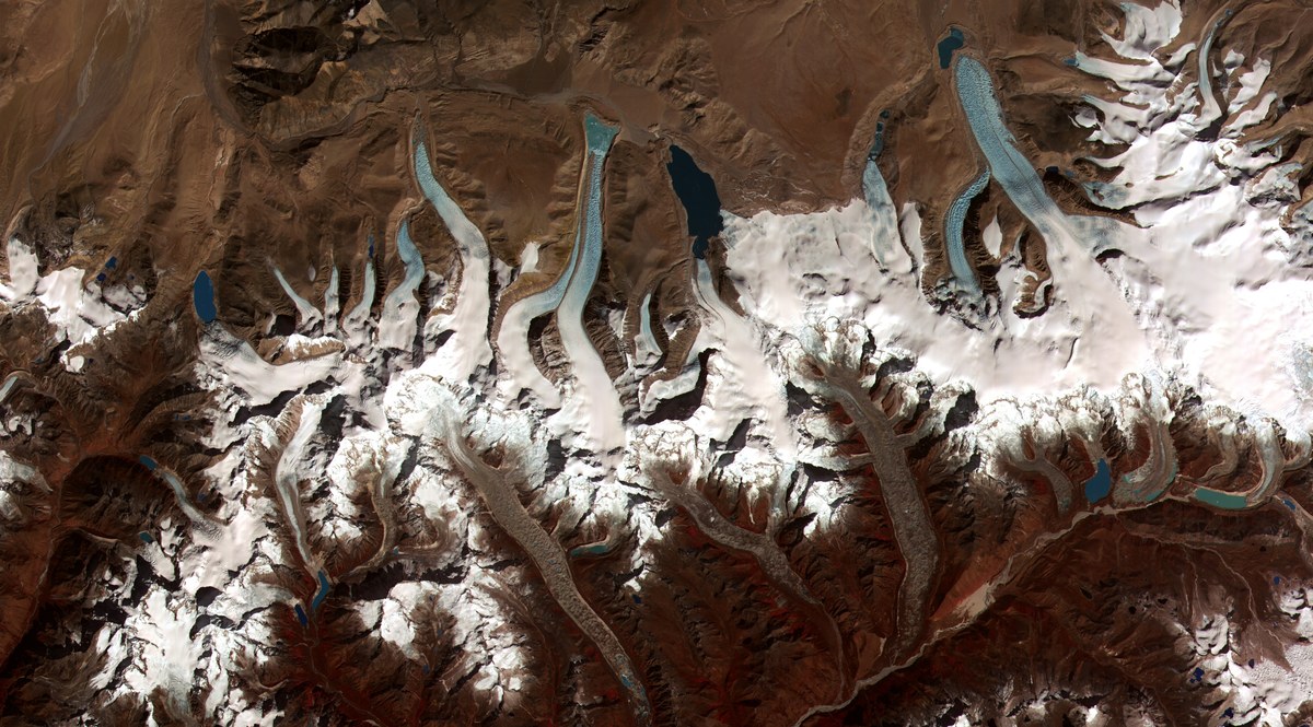
Quick Info
| Country | Bhutan |
| Difficulty | moderate |
| Best Times | Sunrise, Sunset, Golden_Hour |
| Drone | unknown |
| Parking | Unknown |