
Flakstad Oceanview Drone Spot
Norway, Lofoten · Near Flakstad
Overview
Photography
When to Shoot Estimated
Photography Tips
Easily accessible from the road. Launch drone for sweeping coastal panoramas. The open ocean gives dramatic cloud formations at sunset. Can be windy — check conditions.
Signature Shots
Aerial coastline panorama
Sunset over the Norwegian Sea
Storm clouds meeting mountains
Photography Tools
Location Map
Planning Tools
Open external tools at this location
Shot Planner
Access & Drone Info
Access
easy
Available
Informational only, not legal or travel advice. Visa, permit, drone and access rules differ by nationality and site and change often, so confirm with the official authority (linked where shown) before you travel, shoot or fly.
Drone
Norway: max 120m AGL, maintain VLOS, no-fly within 5km of airports without permission. Lofoten has no restricted airspace over most areas but check NOTAMs. Respect wildlife and nesting birds.
Informational only, not legal advice. Rules change quickly — always verify with the managing authority before flying. Airspace authorization and land-owner permission are separate: clearance to use the airspace never grants permission to take off, land, or operate from the ground below it. Data last refreshed Jun 11, 2026.
Reviews
No reviews yet. Be the first to share your experience.
Nearby Spots
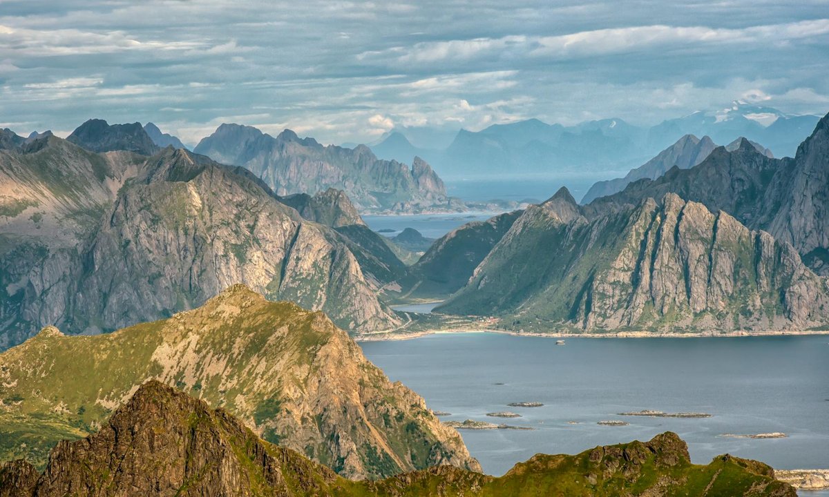
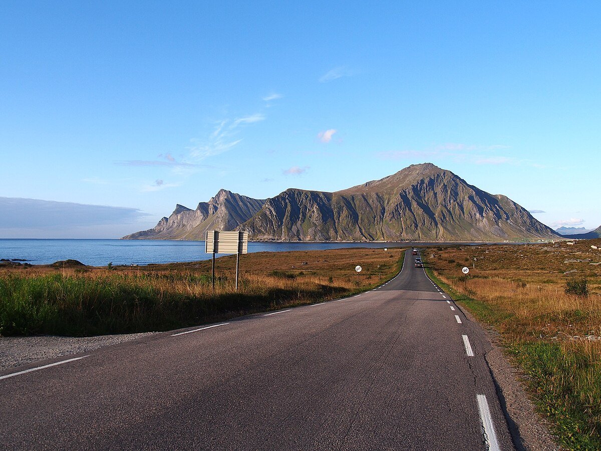
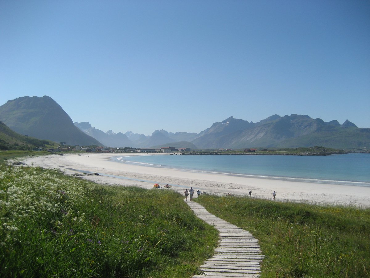
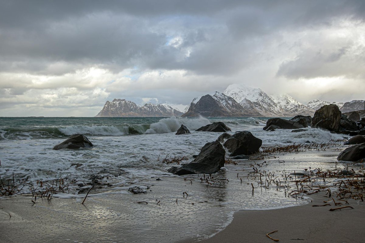
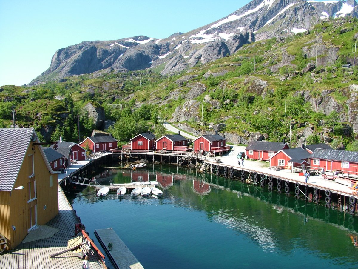
Photo credits
- Cover photo:Photo by Sofia Akemi on Pexels · Pexels License
- Nearby: Hamnøy Drone Viewpoint:Photo by stein egil liland on Pexels · Pexels License
- Nearby: Skagsanden Beach:Wikimedia Commons / Road E10 through Lofoten - 2013.08 - panoramio.jpg · CC BY-SA 4.0 · Resized; may be colour-adjusted
- Nearby: Ramberg Beach:Wikipedia / Ramberg, Flakstad · CC BY-SA 4.0 · Resized; may be colour-adjusted
- Nearby: Kvalvika Beach:Photo by stein egil liland on Pexels · Pexels License
- Nearby: Nusfjord Fishing Village:Wikipedia / Nusfjord · CC BY-SA 4.0 · Resized; may be colour-adjusted
- Nearby: Hamnøy Reflection Bridge:Photo by Marek Piwnicki on Pexels · Pexels License
Quick Info
| Country | Norway |
| Region | Lofoten |
| Nearest City | Flakstad |
| Difficulty | easy Estimated |
| Best Times | Sunset, Golden_Hour Estimated |
| Drone | allowed |
| Parking | Yes |