
Ajong Batu
Brunei
Rumandawii / Own work / Wikimedia Commons · CC BY-SA 4.0 · Resized; may be colour-adjusted
· Photo credits
Overview
mountain in Brunei. Elevation: 7m
Photography
When to Shoot Estimated
Best Times
Sunrise
Sunset
Golden_Hour
Best Months
Mar
Apr
May
Jun
Jul
Aug
Photography Tools
Location Map
Planning Tools
Open external tools at this location
Shot Planner
Access & Drone Info
Access
Difficulty Estimated
moderate
Informational only, not legal or travel advice. Visa, permit, drone and access rules differ by nationality and site and change often, so confirm with the official authority (linked where shown) before you travel, shoot or fly.
Drone
Unknown
Informational only, not legal advice. Rules change quickly — always verify with the managing authority before flying. Airspace authorization and land-owner permission are separate: clearance to use the airspace never grants permission to take off, land, or operate from the ground below it.
Reviews
No reviews yet. Be the first to share your experience.
Nearby Spots
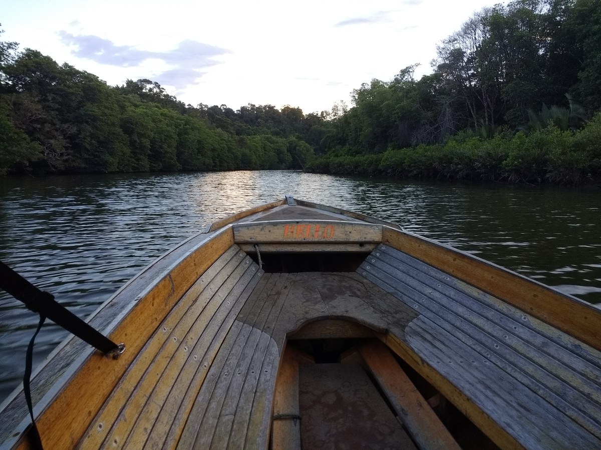
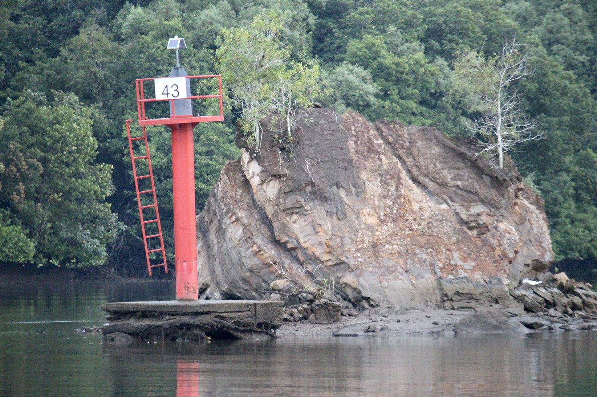
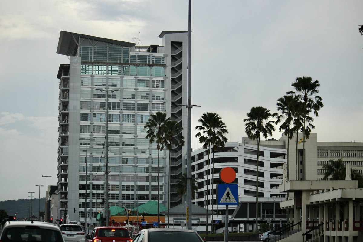
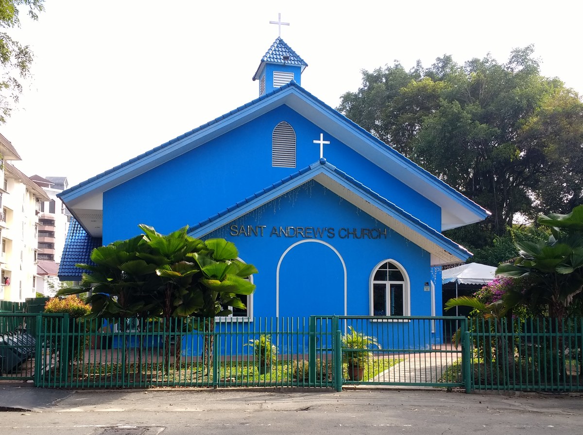
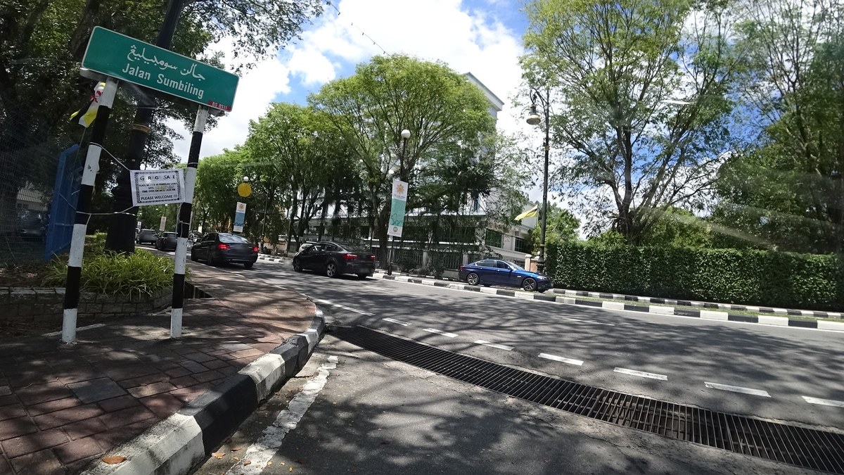
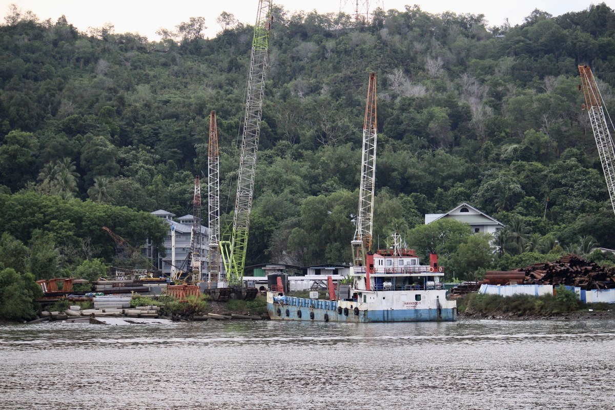
Photo credits
- Cover photo:Rumandawii / Own work / Wikimedia Commons · CC BY-SA 4.0 · Resized; may be colour-adjusted
- Nearby: Bukit Sebuara:Mx. Granger / Own work / Wikimedia Commons · CC0
- Nearby: Bukit Buang Sakar:Chin Yu Chu / https://www.flickr.com/photos/195030826@N02/52019494586/ / Wikimedia Commons · CC BY-SA 2.0 · Resized; may be colour-adjusted
- Nearby: Teng Yun Temple:Chin Yu Chu / https://www.flickr.com/photos/195030826@N02/52019433096/ / Wikimedia Commons · CC BY-SA 2.0 · Resized; may be colour-adjusted
- Nearby: Pro-Cathedral of Our Lady of the Assumption:Mx. Granger / Own work / Wikimedia Commons · CC0
- Nearby: St. Andrew's Church:raito / This file comes from Mapillary , a service for sharing geotagged photos. All photos are under a CC BY-SA 4.0 license meaning the individual photographer must be credited for each image. / Wikimedia Commons · CC BY-SA 4.0 · Resized; may be colour-adjusted
- Nearby: Bukit Salibaya:Chin Yu Chu / https://www.flickr.com/photos/195030826@N02/52018456322/ / Wikimedia Commons · CC BY-SA 2.0 · Resized; may be colour-adjusted
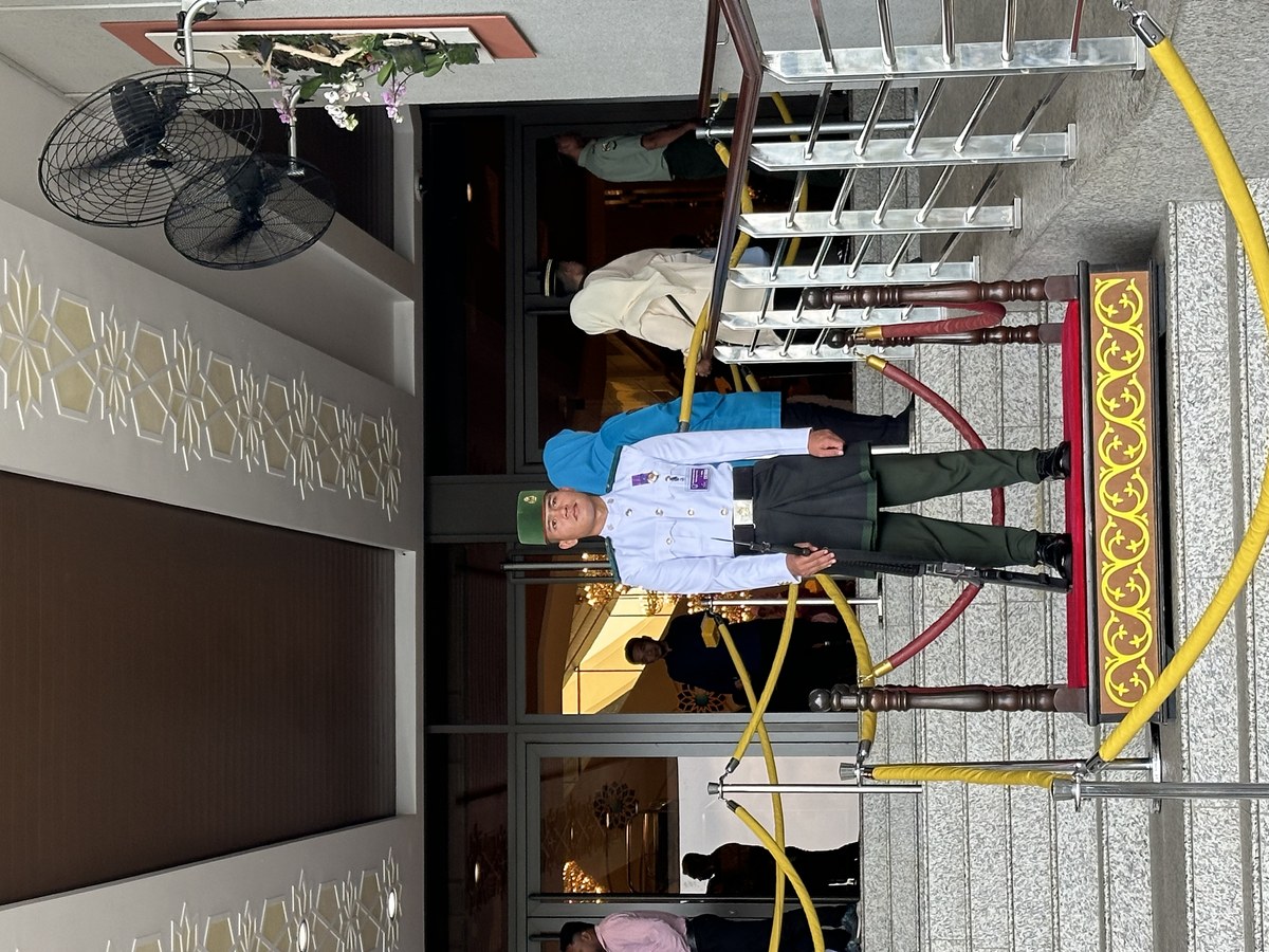
Quick Info
| Country | Brunei |
| Difficulty | moderate Estimated |
| Best Times | Sunrise, Sunset, Golden_Hour Estimated |
| Drone | unknown |
| Parking | Unknown |